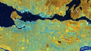
Geospatial Information and Technology
Geospatial Information and Technology is an interdisciplinary field dedicated to the collection, management, analysis, and presentation of geographical data and information. Coursera's Geospatial Information and Technology catalogue provides you with the knowledge and tools to manipulate and analyze geographic data. You'll learn about geographical information systems (GIS), remote sensing, global positioning system (GPS), cartography, geostatistics, spatial analysis, and data visualization. Expand your understanding of the world by mastering how to integrate various types of spatial or geographical data into a unified whole, create maps, and other visual representations of geospatial data. This skill is particularly useful for roles in environmental management, urban planning, logistics, and many more.
16credentials
45courses
Filter by
SubjectRequired
Required
LanguageRequired
Required
The language used throughout the course, in both instruction and assessments.
Learning ProductRequired
Required
Build job-relevant skills in under 2 hours with hands-on tutorials.
Learn from top instructors with graded assignments, videos, and discussion forums.
Learn a new tool or skill in an interactive, hands-on environment.
Get in-depth knowledge of a subject by completing a series of courses and projects.
Earn career credentials from industry leaders that demonstrate your expertise.
LevelRequired
Required
DurationRequired
Required
SubtitlesRequired
Required
EducatorRequired
Required
Results for "geospatial information and technology"
Sort by: Best Match
Most popular
 Status: Free Trial
University of California, Davis
 Status: Free Trial
University of Toronto
 Status: Free Trial
Johns Hopkins University
 Status: Free Trial
University of Toronto
Trending now
 Status: Free TrialStatus: AI skills
 Status: Free Trial
- Status: Free Trial
University of California, Davis
 Status: Free Trial
DeepLearning.AI
New releases
 Status: Free Trial
Case Western Reserve University
 Status: Free Trial
Skillshare
 Status: Free Trial
Coursera Instructor Network
 Status: Free Trial


